

Raymond 🇺🇸
-
Nautical Twilight begins:04:23 amSunrise:05:34 am
-
Sunset:07:44 pmNautical Twilight ends:08:55 pm
-
Moonrise:01:52 am
-
Moonset:10:28 am
-
Moon over:06:10 am
-
Moon under:06:29 pm
-
Visibility:59%
-
 Third Quarter Moon
-
Distance to earth:371,077 kmProximity:81.3 %
Moon Phases for Raymond
-
poor Day
-
minor Time:12:52 am - 02:52 am
-
major Time:
 05:10 am -
07:10 am
05:10 am -
07:10 am
-
minor Time:09:28 am - 11:28 am
-
major Time:05:29 pm - 07:29 pm
Tide Clock
Tide Graph
Times
| Tide | Time | Height |
|---|---|---|
| high | 03:57 am | 9.25 ft |
| low | 10:32 am | 0.46 ft |
| high | 04:47 pm | 8.01 ft |
| low | 10:45 pm | 1.54 ft |
| Date | Major Bite Times | Minor Bite Times | Sun | Moon | Moonphase | Tide Times |
|---|---|---|---|---|---|---|
|
Tue, 30 Apr
|
05:10 am -
07:10 am
05:29 pm -
07:29 pm
|
12:52 am -
02:52 am
09:28 am -
11:28 am
|
R: 05:34 am S: 07:44 pm |
R: 01:52 am S: 10:28 am |
Third Quarter Moon |
high: 03:57 am
, 9.25 ft
, Coeff: 113
low: 10:32 am
, 0.46 ft
high: 04:47 pm
, 8.01 ft
, Coeff: 87
low: 10:45 pm
, 1.54 ft
|
|
Wed, 01 May
|
06:07 am -
08:07 am
06:22 pm -
08:22 pm
|
01:29 am -
03:29 am
10:46 am -
12:46 pm
|
R: 05:32 am S: 07:45 pm |
R: 02:29 am S: 11:46 am |
Third Quarter Moon |
high: 04:56 am
, 9.15 ft
, Coeff: 111
low: 11:32 am
, 0.49 ft
high: 05:49 pm
, 8.17 ft
, Coeff: 91
low: 11:51 pm
, 1.41 ft
|
|
Thu, 02 May
|
07:02 am -
09:02 am
07:15 pm -
09:15 pm
|
01:59 am -
03:59 am
12:05 pm -
02:05 pm
|
R: 05:31 am S: 07:47 pm |
R: 02:59 am S: 01:05 pm |
Third Quarter Moon |
high: 06:02 am
, 9.12 ft
, Coeff: 110
low: 12:35 pm
, 0.43 ft
high: 06:53 pm
, 8.5 ft
, Coeff: 97
|
|
Fri, 03 May
|
07:53 am -
09:53 am
08:04 pm -
10:04 pm
|
02:24 am -
04:24 am
01:23 pm -
03:23 pm
|
R: 05:30 am S: 07:48 pm |
R: 03:24 am S: 02:23 pm |
Waning Crescent |
low: 01:00 am
, 1.08 ft
high: 07:10 am
, 9.22 ft
, Coeff: 112
low: 01:38 pm
, 0.23 ft
high: 07:55 pm
, 9.06 ft
, Coeff: 109
|
|
Sat, 04 May
|
08:44 am -
10:44 am
08:55 pm -
10:55 pm
|
02:46 am -
04:46 am
02:43 pm -
04:43 pm
|
R: 05:28 am S: 07:49 pm |
R: 03:46 am S: 03:43 pm |
Waning Crescent |
low: 02:07 am
, 0.56 ft
high: 08:17 am
, 9.42 ft
, Coeff: 117
low: 02:37 pm
, -0.03 ft
high: 08:52 pm
, 9.71 ft
, Coeff: 123
|
|
Sun, 05 May
|
09:34 am -
11:34 am
09:45 pm -
11:45 pm
|
03:07 am -
05:07 am
04:02 pm -
06:02 pm
|
R: 05:27 am S: 07:50 pm |
R: 04:07 am S: 05:02 pm |
Waning Crescent |
low: 03:10 am
, -0.1 ft
high: 09:19 am
, 9.68 ft
, Coeff: 122
low: 03:32 pm
, -0.26 ft
high: 09:45 pm
, 10.33 ft
, Coeff: 136
|
|
Mon, 06 May
|
10:25 am -
12:25 pm
10:38 pm -
12:38 am
|
03:28 am -
05:28 am
05:22 pm -
07:22 pm
|
R: 05:26 am S: 07:51 pm |
R: 04:28 am S: 06:22 pm |
New Moon |
low: 04:07 am
, -0.75 ft
high: 10:17 am
, 9.91 ft
, Coeff: 127
low: 04:24 pm
, -0.43 ft
high: 10:36 pm
, 10.83 ft
, Coeff: 146
|


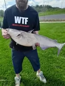
uploaded by: Mr.Chow
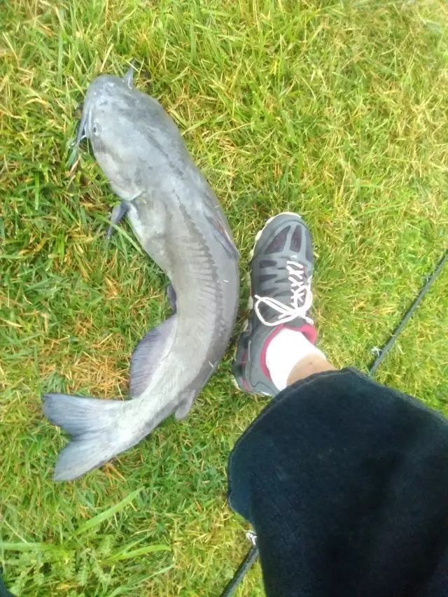
uploaded by: Mr.Chow
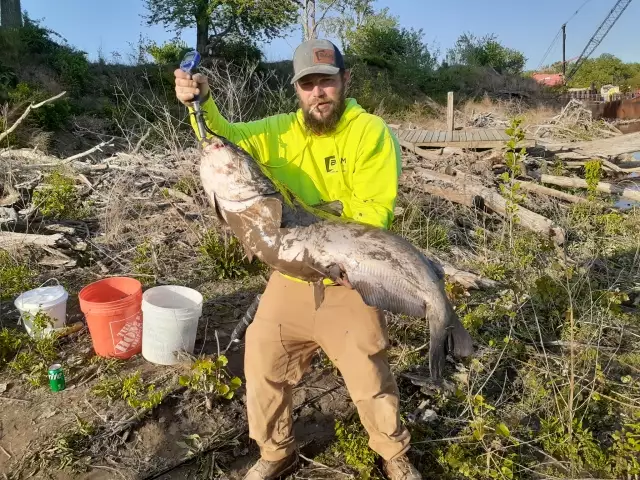
uploaded by: Chadderikk
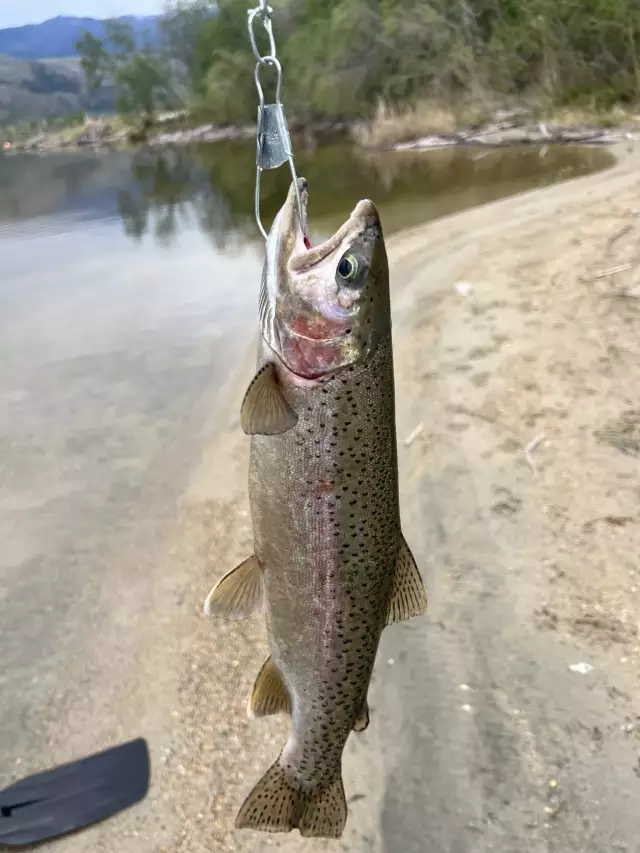
uploaded by: Mike Brooks (Savage)
uploaded by: Mike Brooks (Savage)
uploaded by: Terry Foster
uploaded by: Doug Parr
uploaded by: Ahmed Elbasha
uploaded by: Hoza
uploaded by: PT Edward fisher
Best Fishing Spots in the greater Raymond area
Beaches and Bays are ideal places for land-based fishing. If the beach is shallow and the water is clear then twilight times are usually the best times, especially when they coincide with a major or minor fishing time. Often the points on either side of a beach are the best spots. Or if the beach is large then look for irregularities in the breaking waves, indicating sandbanks and holes. We found 5 beaches and bays in this area.
Jordan Bay - 3km , Hayden Bay - 5km , Upper Bay - 5km , Camp Cove - 6km , Hunger Bay - 7km
We found a total of 98 potential fishing spots nearby Raymond. Below you can find them organized on a map. Points, Headlands, Reefs, Islands, Channels, etc can all be productive fishing spots. As these are user submitted spots, there might be some errors in the exact location. You also need to cross check local fishing regulations. Some of the spots might be in or around marine reserves or other locations that cannot be fished. If you click on a location marker it will bring up some details and a quick link to google search, satellite maps and fishing times. Tip: Click/Tap on a new area to load more fishing spots.
Panther Pond Dam - 0km , Dollys Island - 1km , Bettys Neck - 2km , Browns Point - 2km , Jordan Bay - 3km , Sloanes Cove - 3km , Turtle Cove - 3km , Burnell Cove - 4km , Flag Cove - 4km , Kelseys Point - 4km , Lpon Island - 4km , Schooner Cove - 4km , Shingle Cove - 4km , Thomas Pond Dam - 4km , Bass Island - 5km , Battleship Island - 5km , Bean Island - 5km , Blueberry Island - 5km , Crow Island - 5km , Doctor Island - 5km , Farwell Bog - 5km , Hayden Bay - 5km , Horse Island - 5km , Inner Birch Island - 5km , Inner Spectacle Island - 5km , Inner Twin Island - 5km , Krams Point - 5km , Lower Harvey Cove - 5km , Lyon Point - 5km , Martin Island - 5km , Millstone Island - 5km , Outer Birch Island - 5km , Outer Doctor Island - 5km , Outer Spectacle Island - 5km , Outer Twin Island - 5km , Raymond Neck - 5km , Rookies Island - 5km , Spider Island - 5km , Treasure Island - 5km , Upper Bay - 5km , Upper Harvey Cove - 5km , Camp Cove - 6km , Chaffin Pond - 6km , Dingley Islands - 6km , Grape Island - 6km , Hall Cove - 6km , Hall Point - 6km , Inner Green Island - 6km , Kettle Cove - 6km , Mud Ponds - 6km , Nubble Pond - 6km , Outer Green Island - 6km , Papoose Island - 6km , Pettingill Pond - 6km , Raymond Cape - 6km , Ring Island - 6km , Sheep Island - 6km , Whites Bridge - 6km , Whites Point - 6km , Bear Point - 7km , Birch Island - 7km , Brown Cove - 7km , Clubhouse Cove - 7km , Cub Cove - 7km , Hunger Bay - 7km , Maple Cove - 7km , New Place Cove - 7km , Shelldrake Point - 7km , Shelldrake Cove - 7km , Squaw Island - 7km , Tarkill Pond - 7km , Allen Bog - 8km , Crescent Lake - 8km , Cub Point - 8km , Eel Weir Bridge - 8km , Frye Island - 8km , Lindsay Island - 8km , Little Sebago Lake Dam - 8km , Mill Pond Dam - 8km , Raymond Pond - 8km , Sebago Lake Dam - 8km , Coffee Pond - 9km , Collins Pond - 9km , Crystal Lake - 9km , Dumpling Pond - 9km , Eel Weir Canal - 9km , Eel Weir Dam - 9km , Notched Pond - 9km , Songo Lock Dam - 9km , Songo River Lock - 9km , Thompson Point - 9km , Breezy Point - 10km , Gillman Island - 10km , Brandy Pond - 11km , Great Falls Bridge - 11km , Hog Meadow Pond - 11km , Inner Island - 11km , Jackson Cove - 11km
Comments